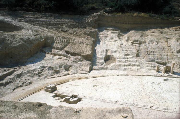
The curved south end of the Stadium during excavations in 1975 with the stone water channel defining the track and the starting line (balbis) in the foreground. At the center left is a section of the terracotta water pipe that brought water to the basins at the right, through the hole in the back of the “water closet”.
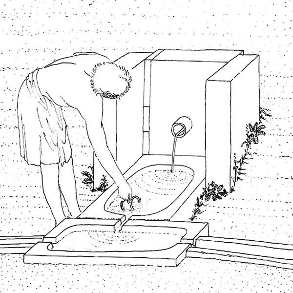
Restored drawing of the basins with the water-closet in use
The track is surrounded and defined by a stone water channel very similar to examples in other ancient stadiums of similar date. Water was brought to the channel in terracotta pipes from a still-extant spring at the eastern side of the valley. It flowed through a hole in the rear of three blocks that formed a little closet around a settling basin at the southernmost end of the track. From that basin, the water flowed into another basin immediately adjacent to the first, and then into the channel that formed the semicircular end of the track.
The water then entered a stone basin at either end of the balbis, and then continued to flow down the sides of the track with basins spaced about 30 meters apart. In order for the system to work, there was a downward slope for the channel, and therefore for the track itself, of about 1.36%. Thus the surface of the track at its northern end can be estimated as about 2.40 m. lower than the southern end. This means that in the long-distance races half the “laps” were downhill and the other half uphill. But it was the same for all the competitors.
The purpose of the basins is not known, but it may have included the provision of drinking water, and water for sprinkling on the track to keep dust down.
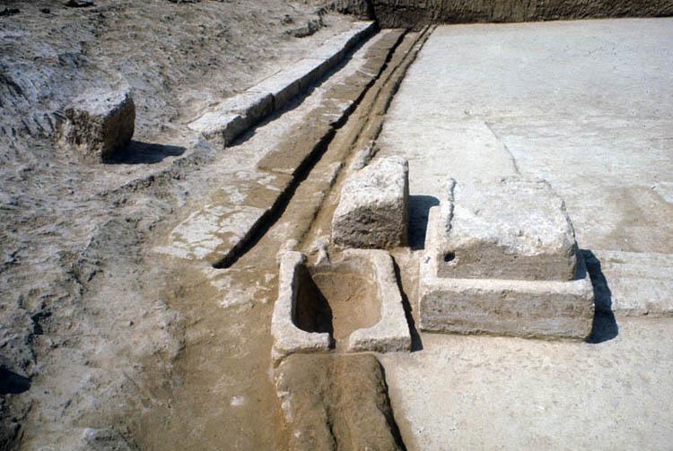
Basin at the west end of the starting line with the continuation of the water channel along the west side of the track to the north, parallel to two rows of stone seats.