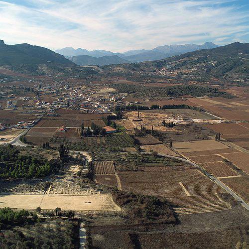
The site of ancient Nemea lies in an upland valley in the Greek province of the Korinthia, in the eastern foothills of the Arkadian Mountains. The valley is about a mile wide and three miles long, and is traversed from south to north by a man-made channel that drains the valley toward the north, ultimately into the Gulf of Corinth. The floor of the valley is about 330 meters above sea level, and is occupied by a modern village of about 200 people, and by vineyards surrounded by hills covered in olive groves. The northern end of the valley is dominated ty the flat-topped Mt. Apesas where an altar to Zeus had been established by Perseus, the legendary founder of Mycenae.
The Nemea valley does not drain naturally and floods during the winter. It was only after the channel was dug in 1884 that it became inhabitable and arable. Hence the name Nemea must derive from the verb nemein (to graze) – a place to take sheep and goats to pasture. Otherwise it could be used only in the summertime for athletic festivals.
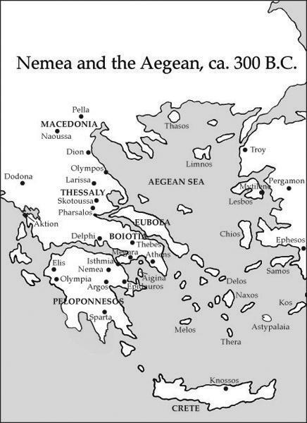
A word of caution must be noted. In the larger valley to the west lies a modern town with much larger population than Ancient Nemea. In antiquity the city was called Phlious, which was replaced in the medieval period by Haghios Georgios. But by the end of the 19th century, the town had taken the name of Nemea; today the city of Nemea is centered there. Hence, modern references to Nemea are almost always references to that town and not to the site of Ancient Nemea. It is therefore recommended that one always specify Ancient Nemea when asking directions to the ancient site.